By Dan and Lisa Goy from the September 2018 Edition
We enjoyed lots of swimming, an afternoon siesta and, of course, a Happy Hour, on this unplanned stop. This was an idyllic location, which was full of tourists when we arrived, but emptied out shortly after set-up. For almost our entire stay it was just us and an occasional staff person (and a rattlesnake nest which we avoided). Some decided to cool off before bedtime with a late swim in the pool, some with bathing suits, others dressed as they arrived. Overall, this was a terrific one-night stay before heading off to Cancun the next day.
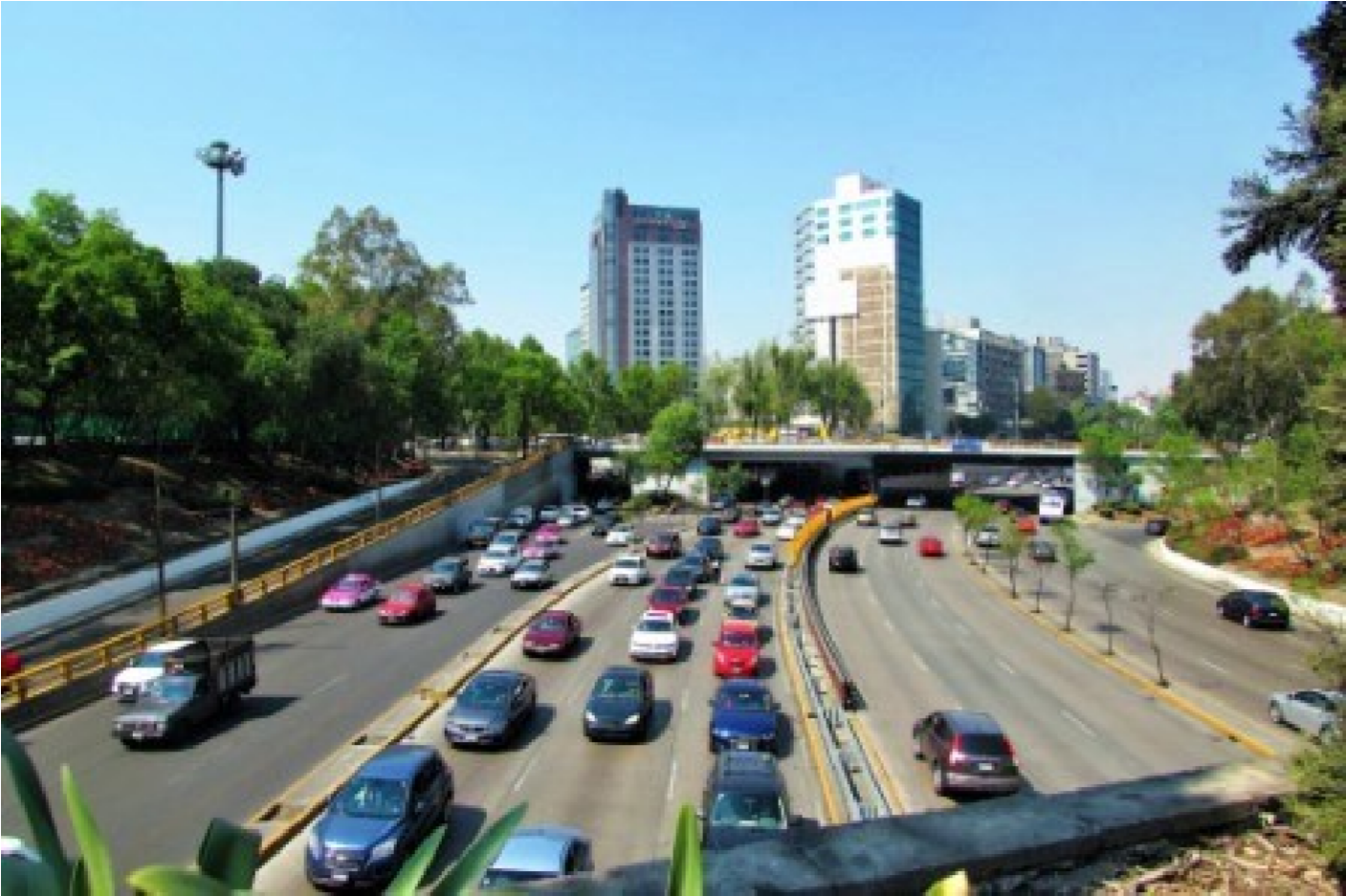
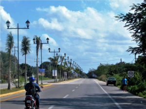
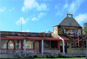
Valladolid is named after Valladolid, at the time the capital of Spain, located approximately 160 km east of the state capital, Mérida, 40 km east of Chichén Itzá, and 150 km west of Cancún. On August 30, 2012, Valladolid became part of the Pueblo Mágico promotional initiative led by the Mexican tourism department.
The first Valladolid in Yucatán was established by Spanish Contion, built atop a Maya town called Zaci or Zaci-Val, whose buildings were dismantled to reuse the stones to build the Spanish colonial town. The following year, the Maya people revolted, but were put down with additional Spanish troops coming from Mérida.
In January 1847, the native Mayans rioted, killing some eighty whites and sacking their houses. After a Mayan noble was shot by firing squad, the riot became a general uprising. It was led by Jacinto Pat, batab of Tihosuco and by Cecilio Chi of nearby Ichmul. The city, and the surrounding region, were the scene of intense battle during Yucatán’s Caste War, and the Ladino forces were forced to abandon Valladolid on March 14, 1848, with half being killed by ambush before they reached Mérida.
The city was sacked by the Maya rebels but was recaptured later in the war. Until the beginning of the 20th century, Valladolid was the third largest and most important city of the Yucatán Peninsula, (after Mérida and Campeche). It had a sizable well-to -do Criollo population, with a number of old Spanish style mansions in the old city. Valladolid was widely known by its nickname “The Sultana of the East”.
A Cenote (seh-NOH-tay) is the Maya term for a natural freshwater sinkhole, a geological feature found in the northern Yucatán Peninsula of Mexico, and other similar landscapes throughout the world. There are no rivers in the Yucatán; the regular high rainfall (1,300 mm or about 50 inches of rain falls every year) simply trickles through its calcareous landscape. Once below ground, the water forms a thin layer of water called a lens aquifer.
Those aquifers flow horizontally, carving sinuous underground caves and, when the ceilings of those caves collapse, sinkhole openings to the surface are created. Especially with the Yucatán Peninsula of Mexico, cenotes were sometimes used by the ancient Maya for sacrificial offerings.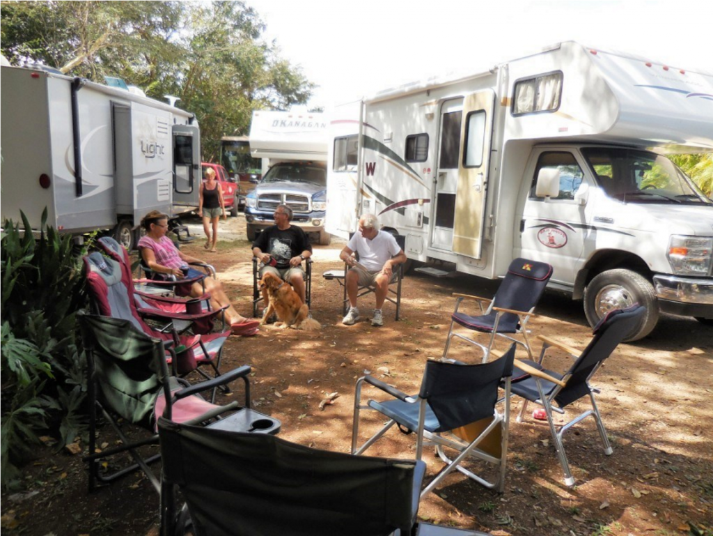
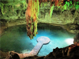 While the best-known cenotes are large, open water pools measuring tens of meters in diameter, such as those at Chichén tered sites and do not necessarily have any surface exposed water. There are over 6,000 different cenotes in the Yucatán Peninsula in Mexico alone. In the north and northwest of the Yucatán Peninsula in Mexico, the cenotes generally overlie vertically extensive voids, penetrating 50 to 100 m (160 to 330 ft) below the modern water table.
However, very few of these cenotes appear to be connected with horizontally extensive underground river systems, with water flow through them being more likely dominated by aquifer matrix and fracture flows. In contrast, the cenotes along the Caribbean coast of the Yucatán Peninsula (within the state of Quintana Roo) often provide access to extensive underwater cave systems, such as Sistema Ox Bel Ha, Sistema Sac Actun/ Sistema Nohoch Nah Chich and Sistema Dos Ojos.
The classification scheme was based on morphometric observadence of human habitation in the region.tions above the water table, and therefore incompletely reflects the processes by which the cenotes formed and the inherent Major Maya settlements required access to adequate water hydrogeochemical relationship with the underlying flooded supplies, and therefore cities, including the famous Chichénl. It cave networks, which were only discovered in the 1980s and zá, were built around these natural wells. Some cenotes, like later with the initiation of cave diving exploration.
Major Maya settlements required access to adequate water the Sacred Cenote in Chichén Itzá, played an important role in Maya rites. Believing that these pools were gateways to the afterlife, the Maya sometimes threw valuable items into them. The discovery of golden sacrificial artifacts in some cenotes led to the archaeological exploration of most cenotes in the first part of the 20th century. Edward Herbert Thompson (1857– 1935), an American diplomat who had bought the Chichén Itzá site, began dredging the Sacred Cenote there in 1904. He discovered human skeletons and sacrificial objects confirming a local legend, the Cult of the Cenote, involving human sacrifice to the rain god, Chaac, by ritual casting of victims and objects into the cenote. The remains of this cultural heritage are protected by the UNESCO Convention on the Protection of the Underwater Cultural Heritage.
Download the full edition or view it online
Dan and Lisa Goy, owners of Baja Amigos RV Caravan Tours, have been making Mexico their second home for more than 30 years and love to introduce Mexico to newcomers.